


La Malene -Le Rozier

alinetpierre
User
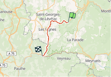

Length
25 km

Max alt
639 m

Uphill gradient
653 m
Km-Effort
34 km

Min alt
402 m

Downhill gradient
691 m
Boucle
No
Creation date :
2022-06-26 06:44:33.317
Updated on :
2022-06-26 14:37:51.273
6h12
Difficulty : Difficult

FREE GPS app for hiking
 SityTrail
IGN / Geographical institutes
SityTrail Plus
The world is yours!
About
Trail Walking of 25 km to be discovered at Occitania, Lozère, La Malène. This trail is proposed by alinetpierre.
Description
Belles vues tout au long du parcours.
Positioning
Country:
France
Region :
Occitania
Department/Province :
Lozère
Municipality :
La Malène
Location:
Unknown
Start:(Dec)
Start:(UTM)
525567 ; 4905326 (31T) N.
Comments